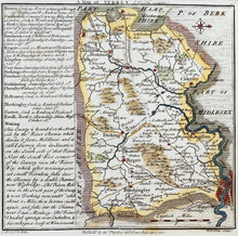
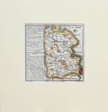
An antique map of the English county of Surrey. Engraved by WH Toms. Hand coloured, and published in 1742. William Henry Toms (c. 1700–1765) was an English engraver. In 1741, he worked on "Chorographia Britanniae or a New Set of Maps of all the Counties in England and Wales". The maps were republished on 29 September 1742, with additional place names. Two small paper loss repairs. Mounted. Ready to frame..
Print size: 15cm x 15cm
Mount size: 29.5cm x 28.5cm


