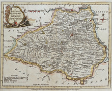
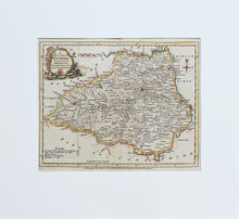
A Modern Map of Durham... - Antique Map by J Ellis circa 1777
  • Load image into Gallery viewer, A Modern Map of Durham... - Antique Map by J Ellis circa 1777
  • Load image into Gallery viewer, A Modern Map of Durham... - Antique Map by J Ellis circa 1777

A Modern Map of Durham... - Antique Map by J Ellis, circa 1777

Item #98106
Regular price
£78.00
Sale price
£78.00
Regular price
Sold out
Unit price
per 
Tax included.

'A Modern Map of Durham, drawn from the lateft Surveys; Corrected & Improved by the best Authorities'. An antique, hand coloured map of the county of Durham, which appeared in Joseph Ellis's 'English Atlas' published by Robert Sayer and Carington Bowles, circa 1777. Mounted. Ready to frame.

Print size: 24.5cm x 20cm
Mount size: 37cm x 34cm