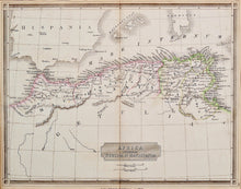
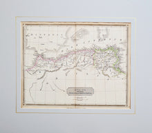
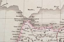
An antique map in original colours showing the countries of North Africa - Morocco, Algeria and Tunisia. This area was known as the Barbary Coast. Text is in Latin. Engraved by J & C Walker, and published by JG & F Rivington, London, in 1835.
Mounted. Ready to frame.
Print size: 30.5cm x 23.5cm
Mount size: 43.5cm x 38cm


