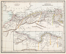
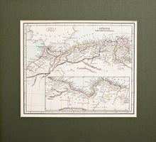
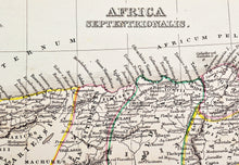
An antique map of the north coast of Africa, in original colours, engraved by A Findley, and published by W Tegg, London, in Findlay's Classical Atlas of Ancient Geography, circa 1850. This map depicts northern ancient Africa, including the portions of the present day countries of Morocco, Algeria and Tunisia, written in Latin. It features an inset map showing further detail of this area bordering the present day Alboran Sea. Mounted. Ready to frame.
Print size: 27cm x22.5cm
Mount size: 38cm x 34.5cm


