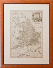
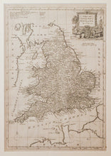
A New and Accurate Map of England by T. Bowen. A finely detailed, copper engraved map by the cartographer Thomas Bowen (1733 - 1790), son of Emanuel Bowen, to whom he was apprenticed. The map was published circa 1770's. Scale 1.25 inches = 60 miles.
This map has to be seen to be believed. Remember all the detail was carved into copper by hand, back to front, often using a mirror.
Framed.
Print size: 23cm x 33cm
Frame size: 48cm x 38cm


