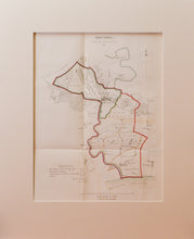
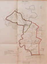
An antique map of the Sussex town of Arundel and surrounding area, also showing Leominster, Wick and Littlehampton. The lithograph, in original colours is by Joseph Netherclift, London, and published in 1831. Netherclift was awarded a medal in 1829 for his method of lithography. His speciality was making lithographs of historical documents. The map is 'signed' by Robert K Dawson, an English surveyor, who was given the job of surveying the boundaries of the proposed Parliamentary Boroughs for the Great Reform Act, of which this map is an example. Scale is 2 inches to the mile. Mounted. Unframed.
Print size: 37.5cm x 29cm
Mount size: 55cm x 44.5cm


