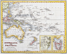
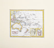
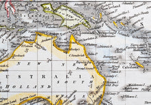
Australasia and Polynesia - Antique Map circa 1827
  • Load image into Gallery viewer, Australasia and Polynesia - Antique Map circa 1827
  • Load image into Gallery viewer, Australasia and Polynesia - Antique Map circa 1827
  • Load image into Gallery viewer, Australasia and Polynesia - Antique Map circa 1827

Australasia and Polynesia - Antique Map, circa 1827

Item #99330
Regular price
£58.00
Sale price
£58.00
Regular price
Sold out
Unit price
per 
Tax included.

An antique, hand coloured map of Australasia and Polynesia, engraved by Neele, and published by J Mowman and the other Proprietors, London, 1827. Included in the map are insets of New South Wales around Botany Bay and Sydney, and Van Diemens Land, now known as Tasmania. Mounted. Ready to frame.

Print size: 24.5cm x 20cm
Mount size: 39cm x 35.5cm