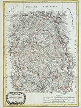
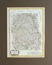
An antique map, in original hand colours, of the French departments of Champagne and Brie. 'Projected and subject to the observations' of Bonne, Paris. Rigobert Bonne (6 October 1727 – 2 September 1794) was a French cartographer, widely considered to be one of the most important cartographers of the late 18th century. Working in his official capacity as Royal Cartographer to France, Bonne compiled some of the most detailed and accurate maps of the period. Mounted. Ready to frame.
Print size: 42cm x 31.5cm
Mount size: 56cm x 45cm


