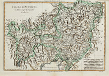
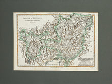
An antique map of Austria, with old hand colouring by M Bonne, engraved by Andre, and published in France circa 1780. The map shows the Circle of Austria, part of the Holy Roman Empire, formed in 1512. The Austrian Circle largely covered the Erblande, the hereditary territories of the Hapsburg dynasty. Mounted. Ready to frame.
Print size: 37cm x 25.5cm
Mount size: 50cm x 38cm


