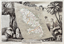
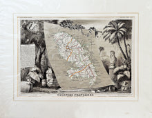
An antique map of Martinique with original colours, published in 'Atlas National Illustree', circa 1840. Illustrated by Raymond Bonheur, engraved by Laguillermie, and printed by Lemercier, Paris. Map and statistics by V Levasseur.
Mounted. Ready to frame.
Print size: 43cm x 29cm
Mount size: 56cm x 44cm


