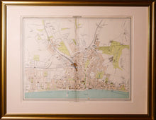
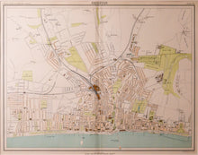
An antique street plan of Brighton, printed and published by John Bartholemew & Company, Edinburgh, in the "Royal Atlas of England and Wales" circa 1898. Colour printed. Both the West and Palace Piers are depicted, as is the Volks Railway. Scale 60mm = 1/2 mile. Framed (very slight damage to top right corner) as seen.
Print size: 43cm x 33cm
Frame size: 61cm x 48cm


