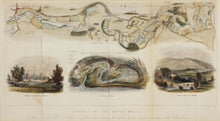
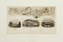
An antique map / plan of the course of the river Mole in Surrey. Hand coloured, with three illustrations below the map, showing a view of Leatherhead Bridge, a view of Boxhill Bridge, and a ground plan of the Swallow No 3 near the Wooden Bridge. Engraved by N Whittock. Published by and for PB Ede, Dorking, 1841.Engraved for Brayley's History of Surrey. Mounted. Ready to frame.
Print size: 40cm x 22cm
Mount size: 52cm x 34.5cm


