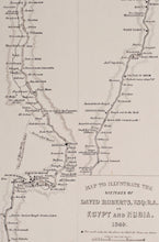
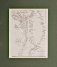
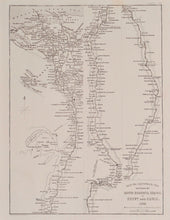
Egypt and Nubia 1849 - Antique Map circa 1852
  • Load image into Gallery viewer, Egypt and Nubia 1849 - Antique Map circa 1852
  • Load image into Gallery viewer, Egypt and Nubia 1849 - Antique Map circa 1852
  • Load image into Gallery viewer, Egypt and Nubia 1849 - Antique Map circa 1852

Egypt and Nubia 1849 - Antique Map, circa 1852

Item #nile
Regular price
£28.00
Sale price
£28.00
Regular price
Sold out
Unit price
per 
Tax included.

An antique map of the river Nile, showing the Nile Delta, and the river's passage through Egypt and Nubia (present day Sudan). This map was engraved by Day and Son, lithographers to the Queen, to illustrate the sketches of David Roberts RA. David Roberts produced a series of detailed lithographs of Egypt, made from sketches during long tours of the region. This map was a companion piece, published circa 1852. Mounted. Ready to frame.

Print size: 21.5cm x 17cm
Mount size: 30.5cm x 25.5cm