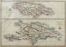
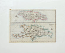
An antique map of Jamaica and Haiti, in old hand colours, engraved by Edward Weller FRGS (1819 - 1884), and published in the Cassell's Weekly Dispatch Atlas circa 1863.
Edward Weller was a British engraver and cartographer, who was one of the first to produce maps using lithography, of which this is an example. Mounted. Ready to frame.
Print size: 44cm x 31.5cm
Mount size: 62.5cm x 51cm


