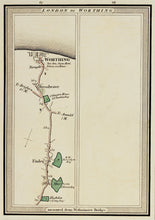
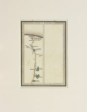
An antique map showing the final page from an atlas of the journey from London to Worthing. From a series of engraved detailed road maps covering the southern counties of England. There was only one edition of these maps, but they must have been very useful in the coaching era of the early 1800s. Published by Mogg circa 1816.
Edward Mogg was a 19th century London publisher of maps and travel guides to London and other localities in England and Wales. Mounted. Ready to frame.
Print size: 21cm x 15cm
Mount size: 36cm x 28cm


