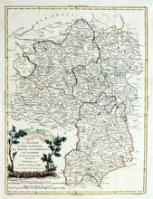
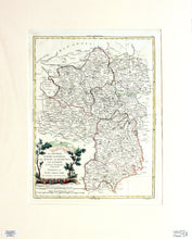
An antique Italian map, in original hand colours, of some of the central departments of France. They comprise Berry, Ninervois, la Marche, Bourbonnais and the Auvergne. Only the Auvergne still exists as a department in the present day. Engraved by V Pasquali after G Zuliani, and published by Antonio Zatta, in 1776. Zatta (1757 – 1797) was an Italian cartographer and publisher who was based in Venice. Mounted. Ready to frame.
Print size: 42.5cm x 33cm
Mount size: 60cm x 48cm


