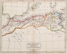
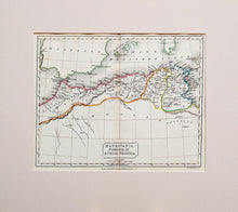
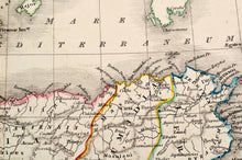
An antique map, in original colours, of the coast of North Africa, with the countries and place names in Latin. The map shows present day Morocco, Tunisia and Libya, also known as 'the Barbary Coast'. Drawn and engraved on steel by Sidney Hall, published by Longman & Co, London, circa 1836. Mounted. Ready to frame.
Print size: 25cm x 20cm
Mount size: 35.5cm x 31.5cm


