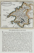
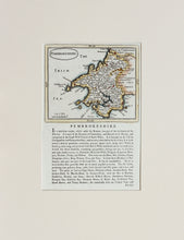
An antique map of the Welsh county of Pembrokeshire with historical statistics. Hand coloured. The maps from this series were originally engraved in c.1694 for John Seller's 'Anglia Contracta'. Nearly a century later, the plates were given a new lease of life when they were amended and printed on a page of historical text for Francis Grose's 'Antiquities' series, as is this example. This edition circa 1785. Mounted. Ready to frame.
Print size: 22.5cm x 15cm
Mount size: 38.5cm x29.5cm


