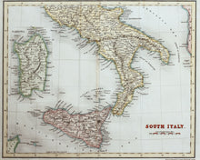
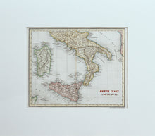
An antique, hand coloured map of southern Italy, drawn and engraved by J Dower, and published circa 1836. The map shows mainland Italy from Rome in the north, down to Reggio in the south. The map also shows Sicily, and an inset panel of the island of Sardinia. Scale is 50 miles to the inch. Mounted. Ready to frame.
Print size: 26.5cm x 21cm
Mount size: 42cm x 37.5cm


