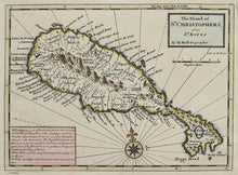
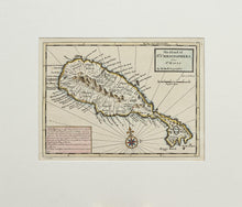
An antique map, with old hand colouring, of the Leeward island of St Kitts. The map is by Herman Moll, and published by Thomas Bowles in London in 1729. This edition is 1732 from Moll's Atlas Minor. There is an interesting panel, bottom left, with historical facts about the island. "It had its name from Christopher Columbus who discovered it. The English inhabitants suffered much in the late wars from the French, who inhabited a great part of the island...." Herman Moll (1654 – 1732) was a London cartographer, engraver, and publisher. Mounted. Ready to frame.
Print size: 29cm x 21.5cm
Mount size: 43cm x 37cm


